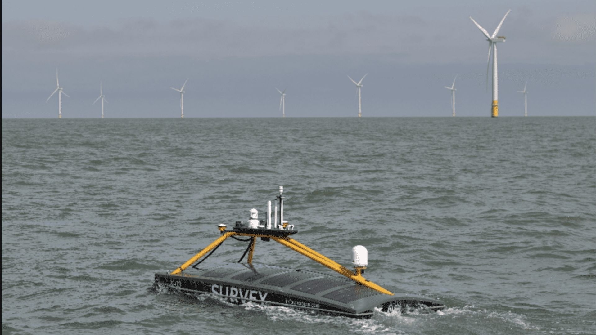
Ocean Data Specialists
XOCEAN delivers critical insights into seabed, sub-seabed, and environmental conditions through an innovative approach to ocean data collection. Leveraging a fleet of Uncrewed Surface Vessels (USVs), we operate offshore for extended periods, continuously harvesting vast volumes of high-quality ocean data.
Offshore Wind
Subsea Cable Developments
Civil Hydrography
Oil & Gas
Carbon Capture & Storage
Offshore Wind
Offshore Wind relies on accurate seabed data to support informed decision-making throughout a project’s lifecycle, enabling the safe and sustainable development of renewable energy infrastructure at sea.
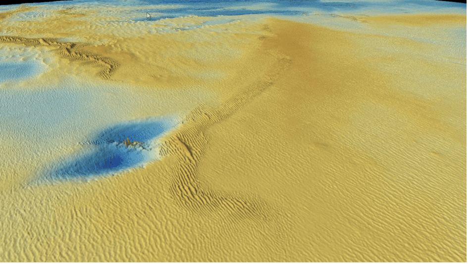
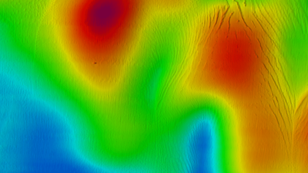
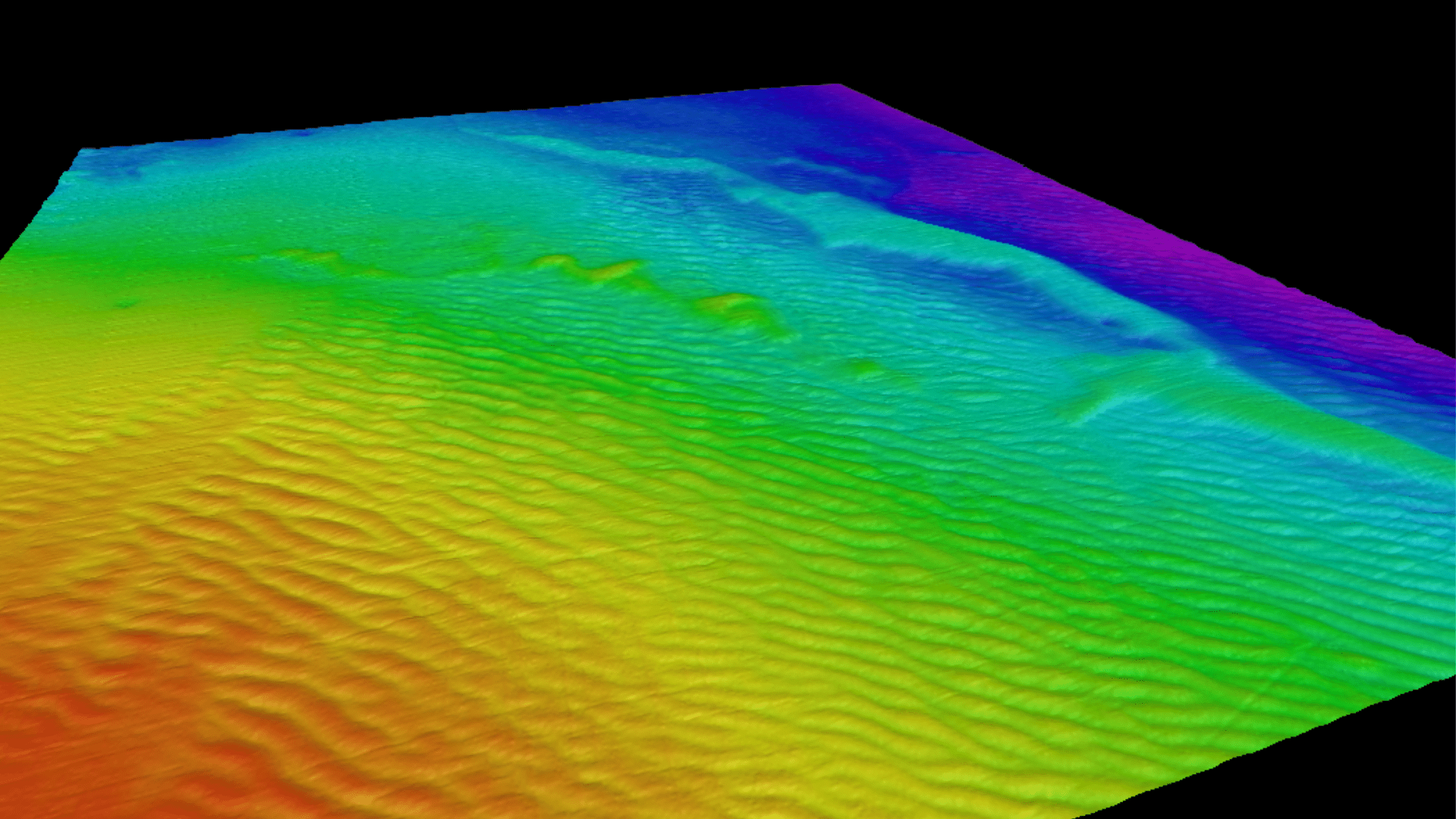
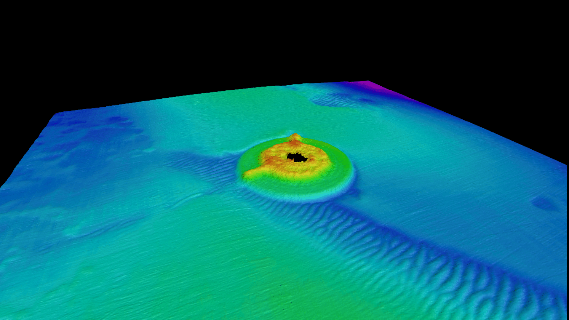
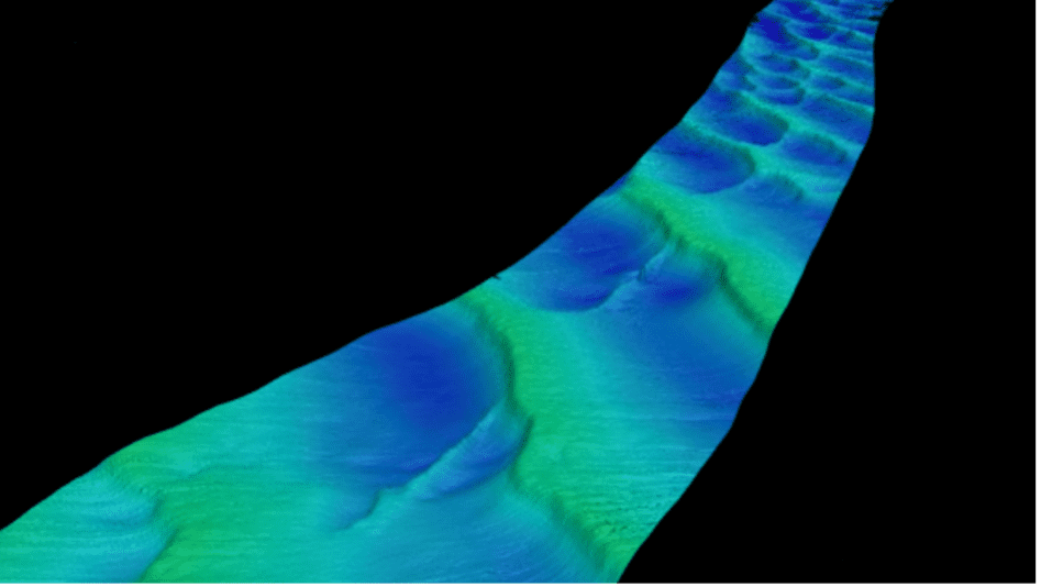
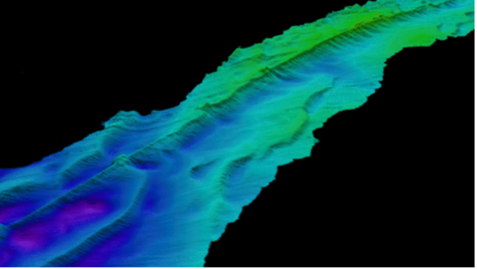
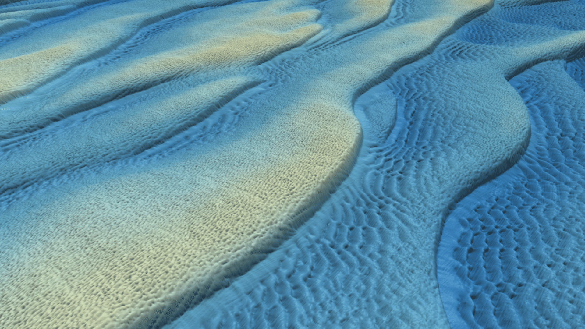
Seabed Characterisation
Geo-Hazard Assessment
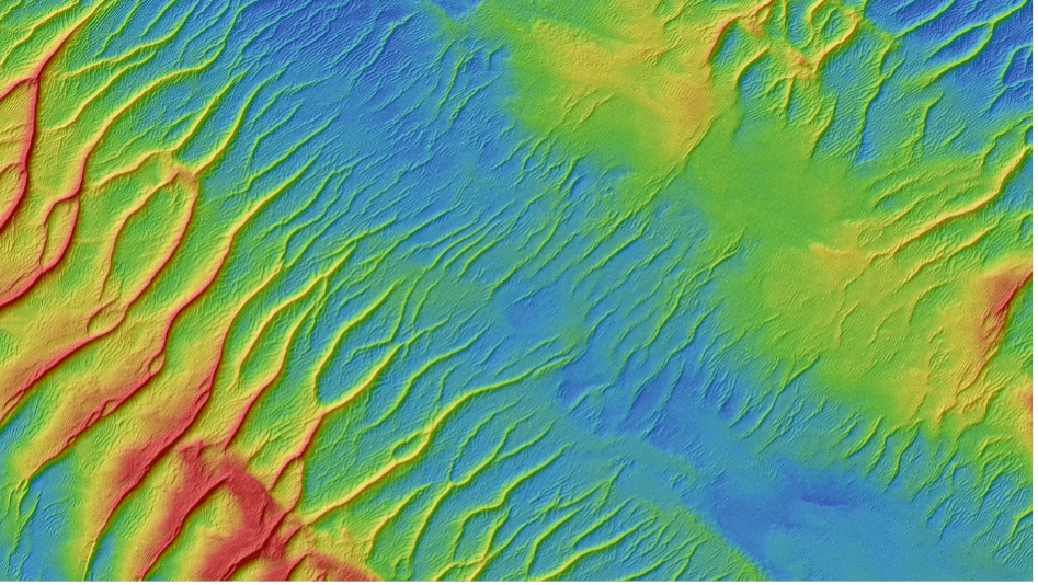
Morphological Seabed Assessment
XOCEAN surveys provide detailed information about the site conditions and help to mitigate risks throughout the construction process.
Pre Foundation Installation survey
Post Foundation Installation survey
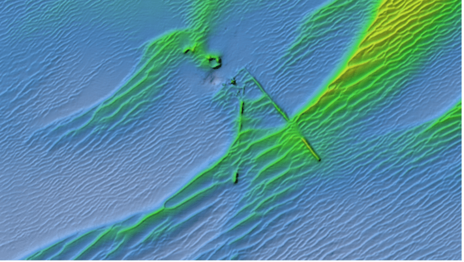
Debri Clearance survey

Depth of burial surveys
XOCEAN’s surveys play a crucial role in the operation and maintenance (O&M) of offshore wind farms, ensuring long-term performance, safety, and reliability.
Pre-Jack Up Debris Clearance Surveys
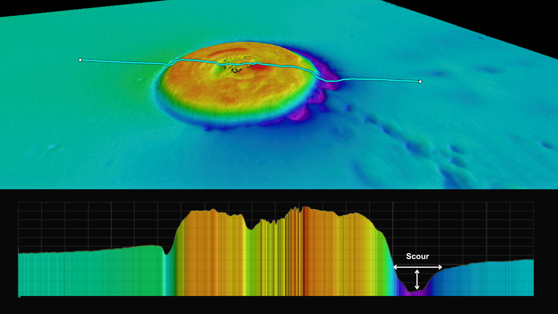
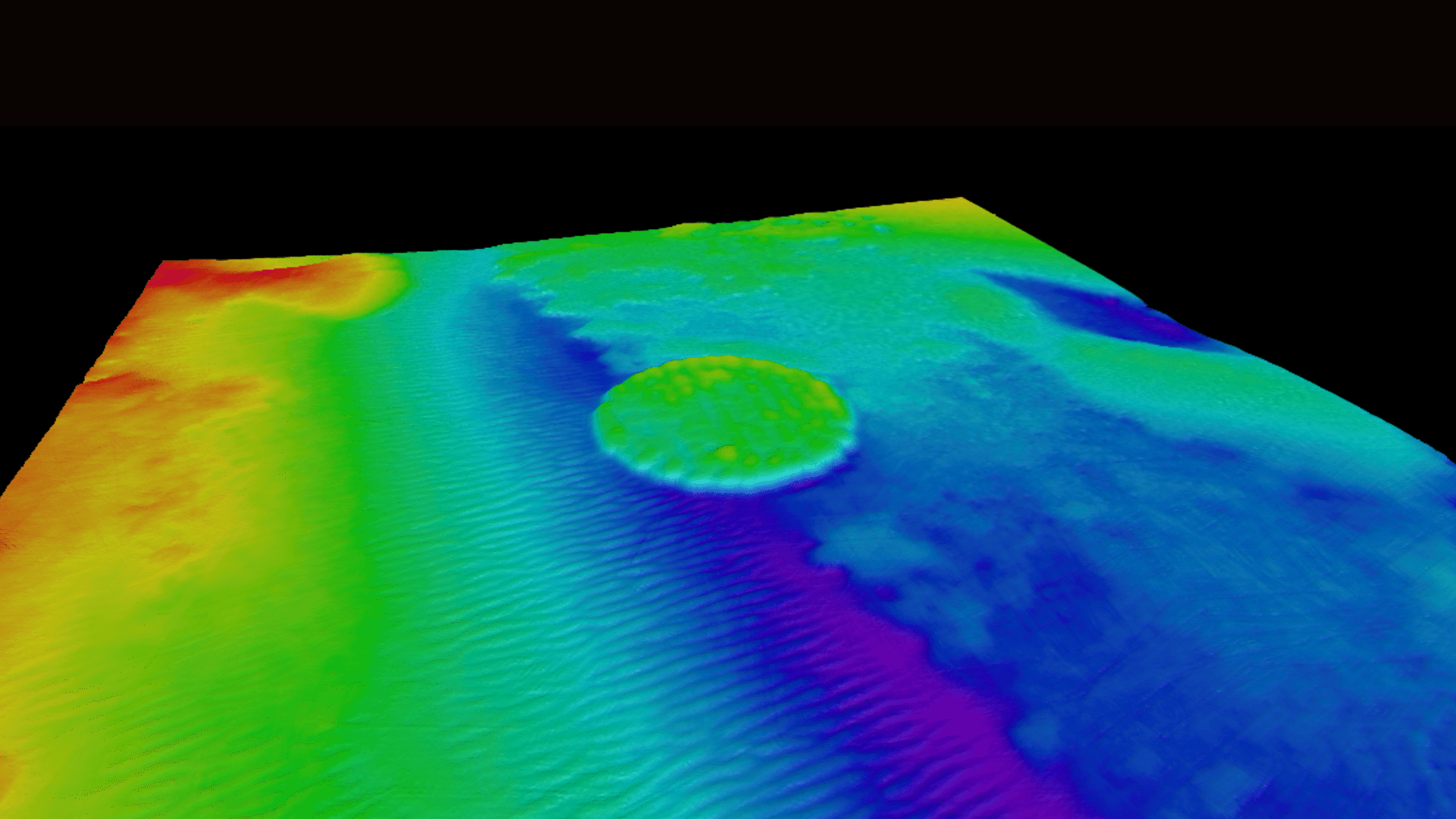
Scour Condition Monitoring
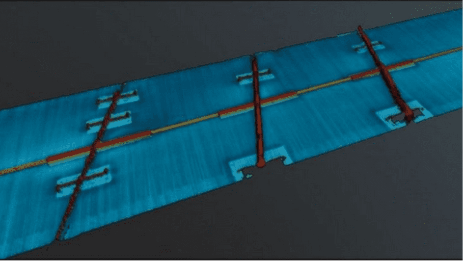
Export Cable Route Inspection
Subsea Cable Developments
Accelerated geophysical surveys from landfall to deepwater corridors deliver vital seabed data to inform route planning. XOCEAN’s adaptive capabilities allow real-time route adjustments, enabling efficient and flexible offshore infrastructure development.
Seabed Characterisation
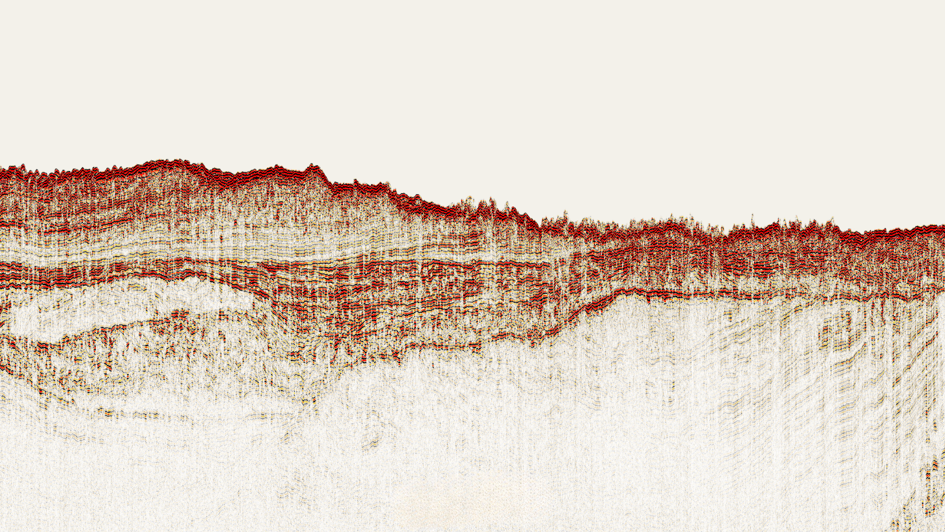
Geo-Hazard Assessment
Morphological Seabed Assessment
XOCEAN’s surveys play a critical role in the operation and maintenance (O&M) of subsea cables, supporting long-term performance, safety, and reliability through precise seabed monitoring and risk identification.
Route Inspection
Civil Hydrography
Safety of Navigation
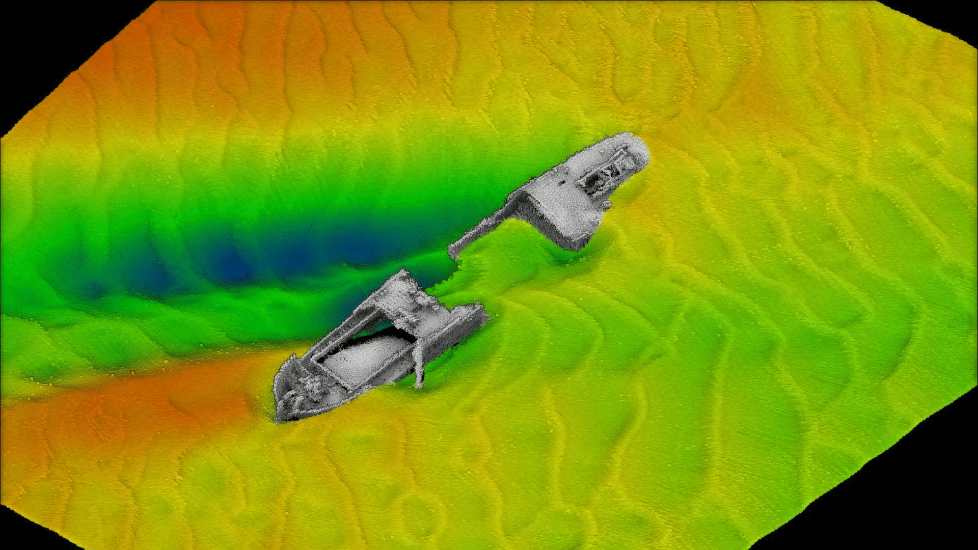
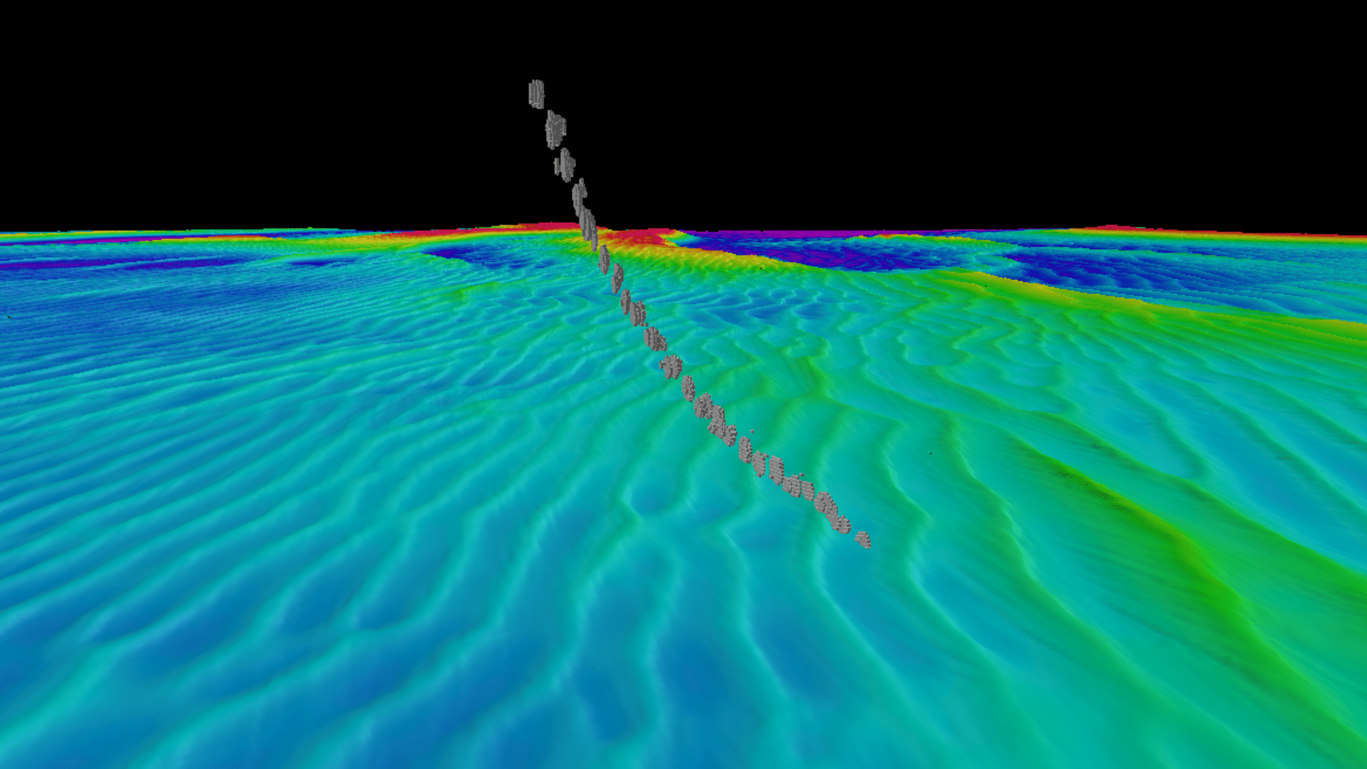
Wreck Investigation
Carbon Capture & Storage
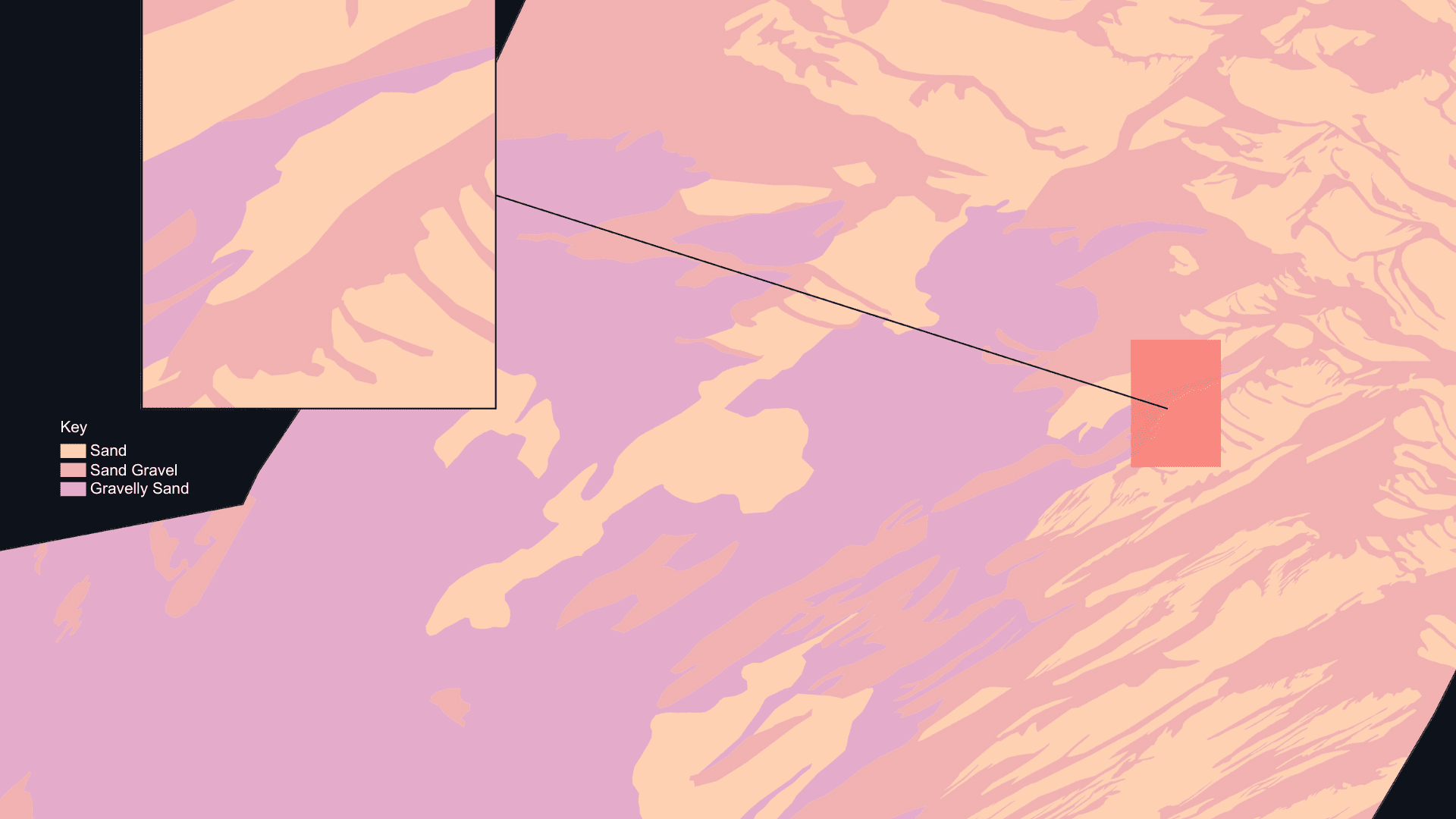
Seabed Characterisation
Shallow Surface Geological Integrity Assessments
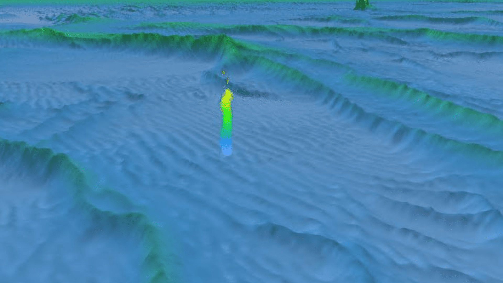
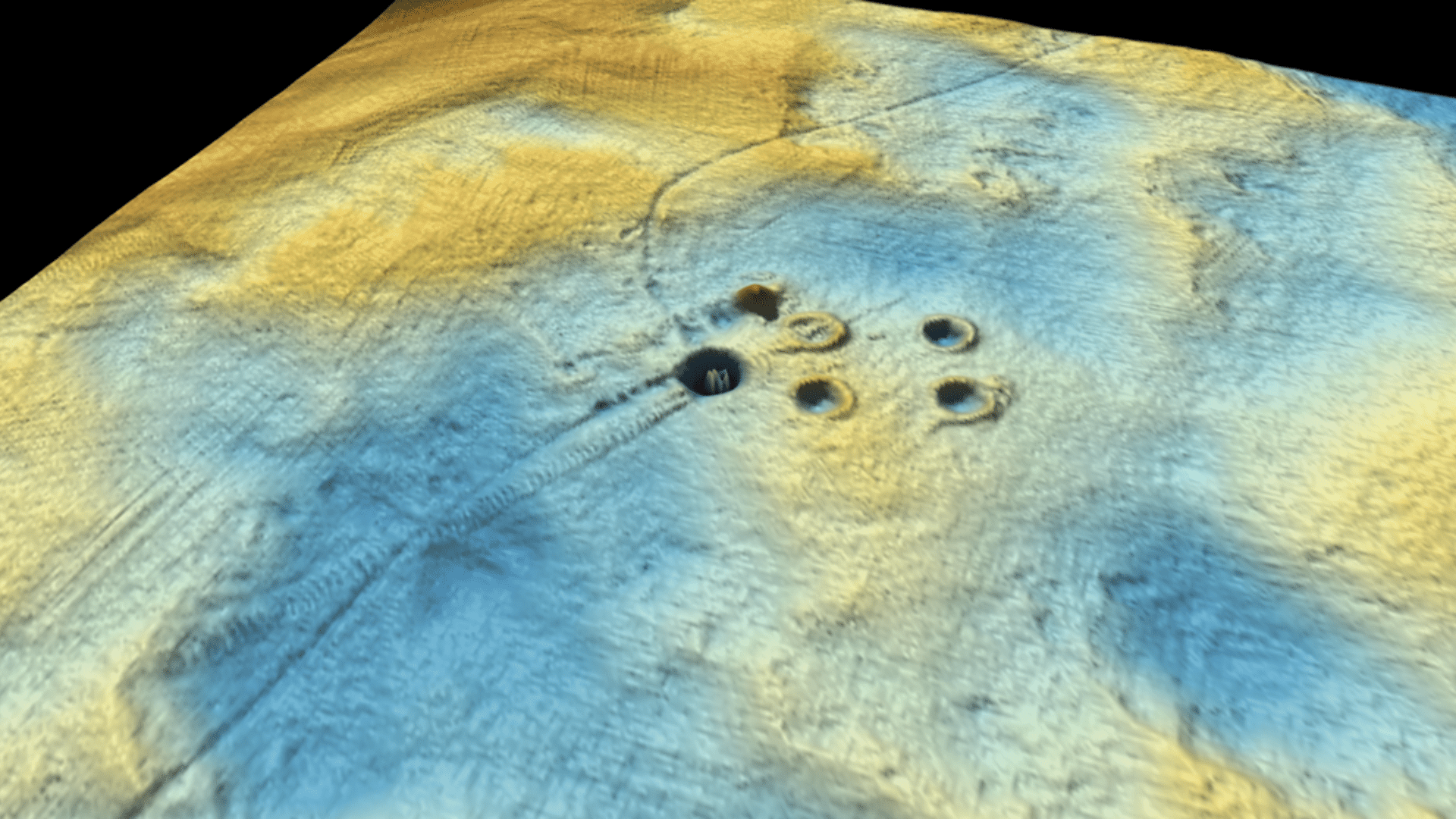
Gas Migration and Seeps
Navigational Hazard Surveys
Oil & Gas
Asset Integrity Inspection
Decommissioning Debris Clearance Survey

Pre-Jack Up Debris Clearance Surveys
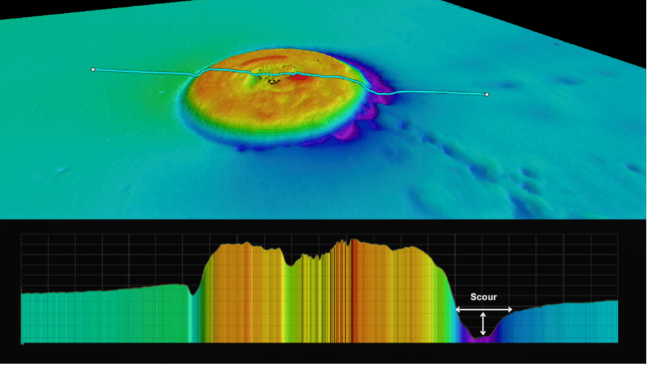
Scour Condition Monitoring
Environmental Monitoring Data Harvesting
Learn more about our data services
- Multibeam Echosounder
- Side - Scan Sonar
- Magnetometer
- Shallow Geotechnical
- 2D UHRS
- Environmental monitoring
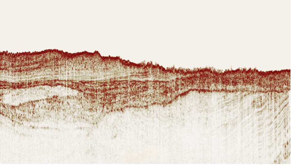
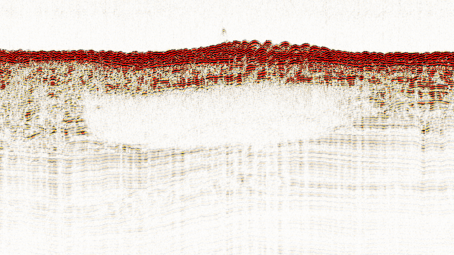
- Sub Bottom Profiler